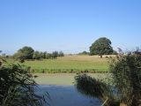
Haut Brivet circuit - Circuit du Haut Brivet
Dréfféac
Destination
Circuit du Haut Brivet
Parking de l'Espace culturel et sportif
44530
DREFFEAC
GPS coordinates
Latitude : 47.47721
Longitude : -2.05559
Itinerary Info
- Type of Excursion :
- Items/Points of Interest :
- Heritage
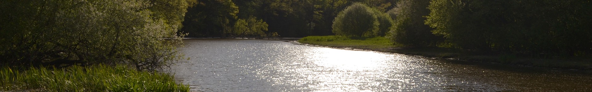
- Bocage and countryside
- Channels, Rivers and estuaries
- Period :
- An Half-day
- Practical information :
- Town of departure Dreffeac
- Length in km 10 km
- Average duration 2h30
Download
General information
- Useful Information :
- Section subject to flooding on the circuit/route de novembre Ă Â mai
- Ideal time to practice de juin Ă Â octobre
- (Geographical) Location from Point of Departure :
- Distance from the railway station 1.5 km (Drefféac)
- Distance from the shops 5 km (Pontchâteau ou St-Gildas-des-Bois)
- Distance from the town centre 5 km (Pontchâteau ou St-Gildas-des-Bois)
- Distance from a bus stop 150 m - LILA - T5 - ArrĂŞt : Eglise
Accessibility
- Disabled Access :
- Not accessible for people with reduced mobility