Herons circuit - Circuit des HĂ©rons
Pontchâteau
Destination
Circuit des HĂ©rons
44160
PONTCHATEAU
GPS coordinates
Latitude : 47.43630
Longitude : -2.08812
Itinerary Info
- Type of Excursion :
- Items/Points of Interest :
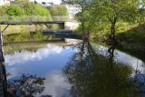
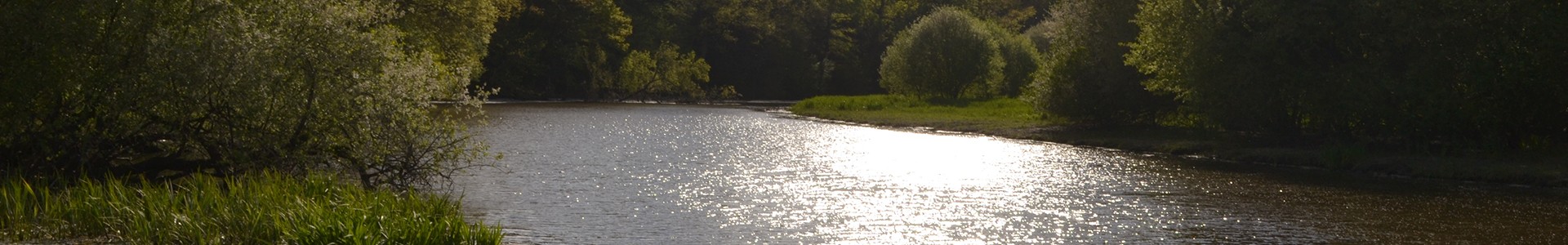
- Channels, Rivers and estuaries
- Period :
- Less than 2 hours
- Practical information :
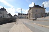
- Town of departure Pont-Château
- Length in km 7 km
- Average duration 1h45
General information
- Useful Information :
- Section subject to flooding on the circuit/route de novembre Ă Â mai
- Ideal time to practice de juin Ă Â octobre
- (Geographical) Location from Point of Departure :
- Distance from the railway station 160 m (Pont-Château)
- Distance from the shops sur place
- Distance from the town centre sur place
- Distance from a bus stop 160 m - LILA - T5 - ArrĂŞt : Gare ou Eglise
- The Regional Natural Park of la Brière
Accessibility
- Disabled Access :
- Not accessible for people with reduced mobility